DESCRIPTION
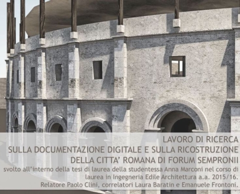
The site of the city was recognized about two kilometers east from Fossombrone, in San Martino del Piano, and has been identified since the fifteenth century relying on numerous discoveries of ancient artifacts occurred repeatedly during agricultural work. The settlement arose in the second century b.C. on a large plateau in the final stretch of the Metauro valley and in connection with the Flaminia (220 b.C.), which has led the main urban road network. The Forum was probably resettled by Gaius Gracchus, in an area already inhabited in pre-Roman times, during the period of activity of the triumvirate commission appointed after the lex Sempronia (133 b.C.). In the context of this broad action Gaius Gracchus has thus linked its name to the Forum, which increased because of the opening of the Flaminia.
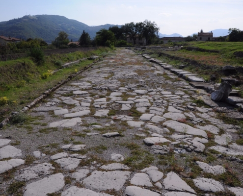
The excavations, carried out since 1974 by the University of Urbino, have provided significant elements for the urban knowledge of the city, which has regular type, with straight roads parallel to each other and squared intersections. The settlement stretched over an area of approximately 25 hectares and was included on three sides by natural boundaries, constituted by the Metauro River bed (south), by the Fosso of the Conserva (west) and by the Mount of Cesane (northward). The walls followed the “tactical edge”, not on the eastern side, where the floor is uniform; on this last side structures with bare material of a circular tower and a stretch of walls from Late Antiquity, located at the Porta Gallica, mentioned in an inscription found nearby, were found.
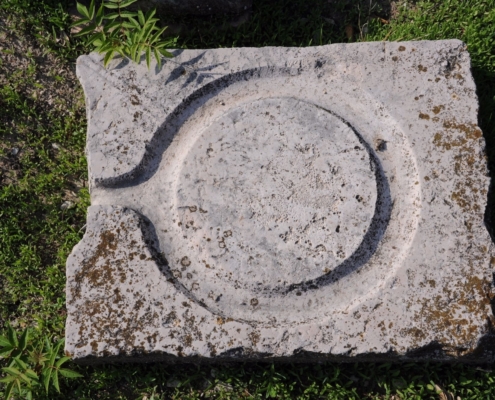
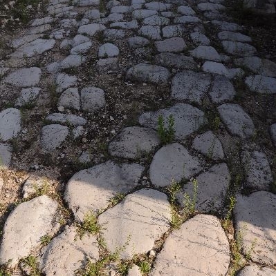
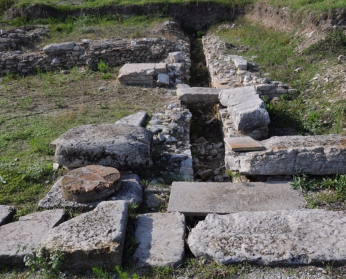
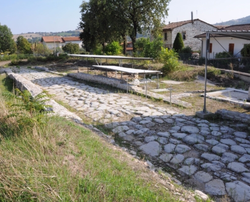
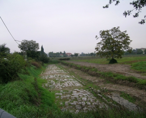
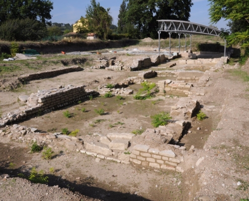
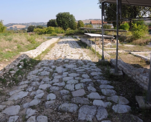
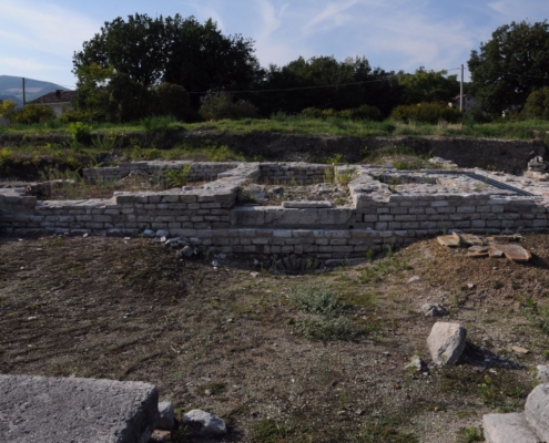
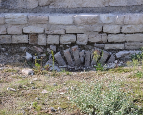
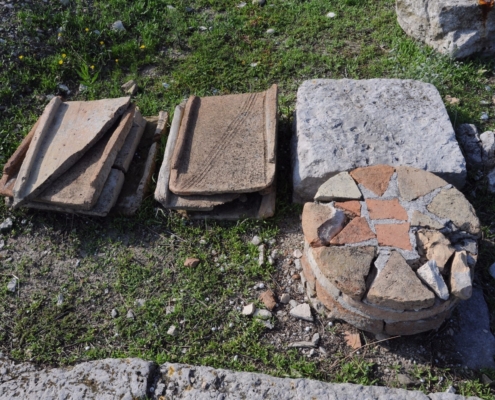
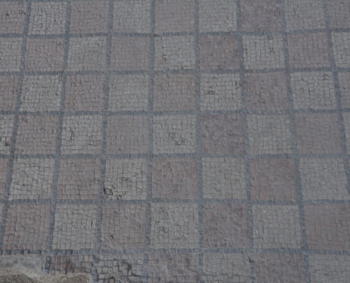
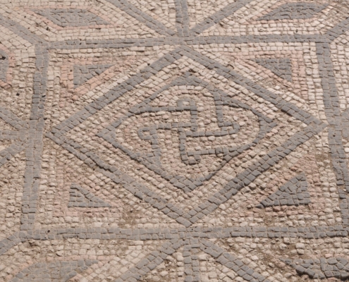
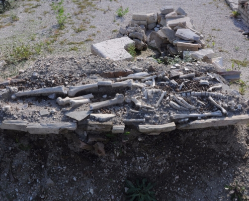
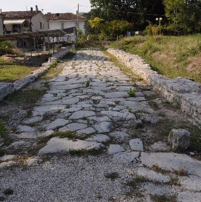
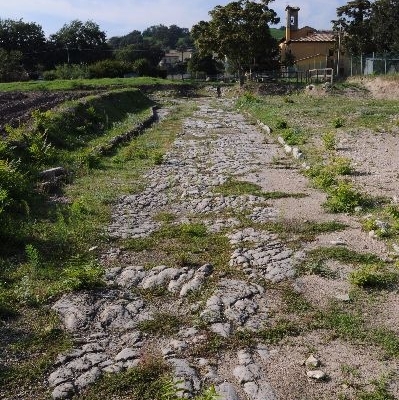
Among the monuments of the city, numerous remains of walls have been found, as well as long stretches of paved road that allowed to recognize a rectangular insula, two by three actus (about 70 x 105 m) large. A thermal bath building was excavated and made visitable, together with other rooms near the forum area. Two temples have been recently identified in the Forum, in a private field, with aerial photography.
Autore: Mario Luni
